0/5
0 review
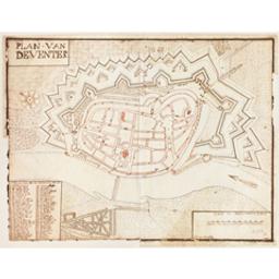
Plan van Deventer [Document cartographique] : fait par Jan Colp 1732
|
|||
|
Checking of available copies ...
Consult online
Request item
Checking of available copies ...
Other format
Issus de la même oeuvre
Loading enrichments...
